Pinnacle Utility Locating
Utility Mapping
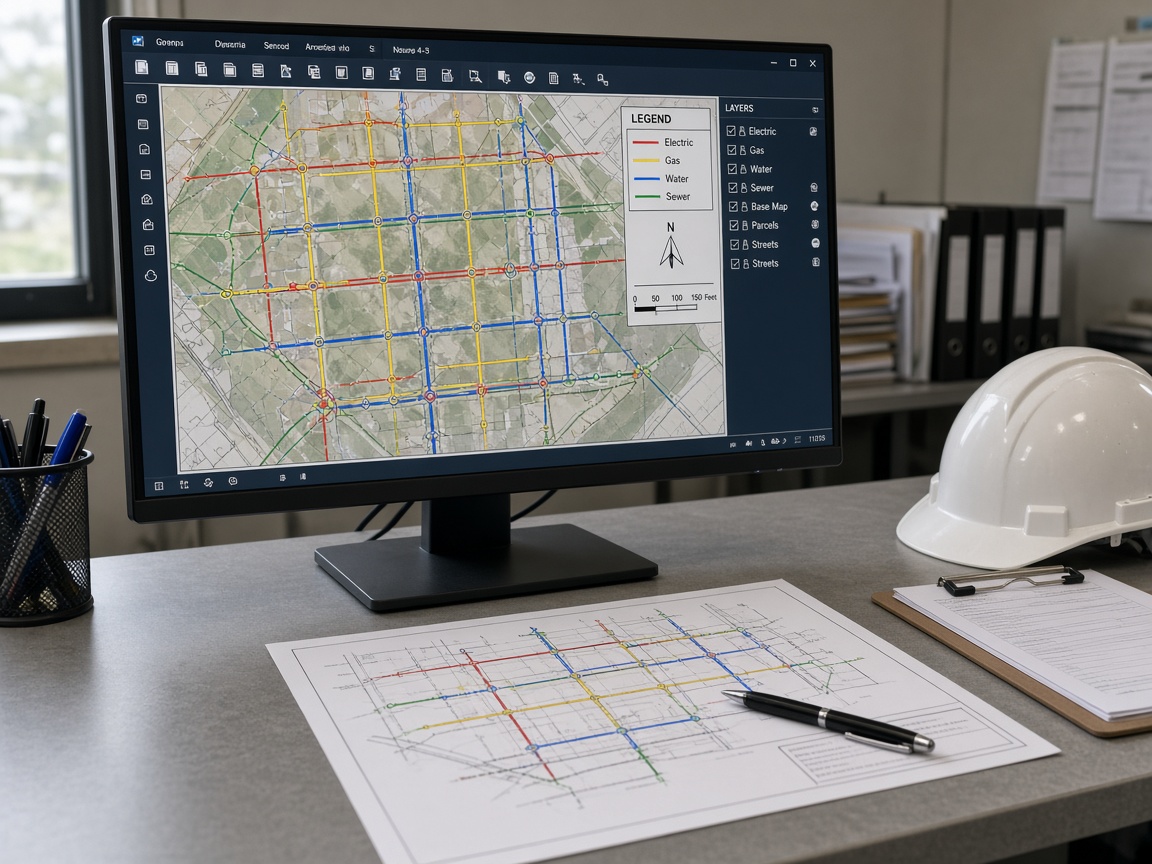
Utility mapping that turns field marks into drawings the next contractor can use. We capture locate results as sketches, CAD, or GIS so owners and GCs keep a record instead of re-locating the same site from scratch.
Scope of work
- Field-to-CAD and GIS deliverables
- APWA color conventions on drawings
- Design-level and as-built mapping
- Records for multi-site portfolios
What your proposal includes
- Coverage areaYards, corridors & structures
- MethodsEM, GPR, scan & mapping
- Locate windowKeeps site operational
- ScheduleTicket review to closeout
- TurnaroundTypically 48 hours
How we work
A five-stage delivery process
Predictable execution from first ticket review to documented closeout — at every stage.
-
01
Ticket & site review
We review the 811 ticket, as-builts, and access, then walk the property to confirm what public marks miss before quoting.
-
02
Scope & proposal
You receive a written scope with methods, coverage area, deliverables, and pricing — typically within 48 hours.
-
03
Field locating
Crews apply EM, GPR, and concrete scanning as specified and paint APWA color-coded marks on the ground.
-
04
Mapping & records
Marks are documented with photos, sketches, or CAD/GIS mapping so the next crew is not starting from zero.
-
05
Closeout
You receive locate records, maps, and a documented closeout your superintendent can file with the job.
Related capabilities
Pair with
Where we work
Utility Mapping in 44 markets
Select a market for local contact details.
- Albuquerque, NM
- Atlanta, GA
- Austin, TX
- Baltimore, MD
- Baton Rouge, LA
- Birmingham, AL
- Boise, ID
- Buffalo, NY
- Burlington, VT
- Charlotte, NC
- Cheyenne, WY
- Chicago, IL
- Columbia, SC
- Columbus, OH
- Dallas, TX
- Des Moines, IA
- Detroit, MI
- Helena, MT
- Houston, TX
- Indianapolis, IN
- Jackson, MS
- Las Vegas, NV
- Little Rock, AR
- Los Angeles, CA
- Louisville, KY
- Milwaukee, WI
- Minneapolis, MN
- Nashville, TN
- Newark, NJ
- Oklahoma City, OK
- Omaha, NE
- Orlando, FL
- Phoenix, AZ
- Pittsburgh, PA
- Portland, ME
- Portland, OR
- Richmond, VA
- Salt Lake City, UT
- San Antonio, TX
- Seattle, WA
- St. Louis, MO
- Tampa, FL
- Wichita, KS
- Wilmington, DE
FAQ
Utility Mapping questions
How quickly can you provide a proposal?
Most commercial proposals are delivered within 48 hours of the site review. Multi-site or mapping programs may take slightly longer because each location is scoped for access, methods, and deliverables individually.
Do you locate utilities that 811 does not mark?
Yes. Public one-call marks the utilities that member companies own. Privately owned electric, water, comms, irrigation, and process lines on the customer side of the meter are our primary work — and the lines most often hit.
Are you licensed, insured, and able to meet vendor requirements?
Our crews carry general liability and workers' compensation coverage in the markets where they operate, and we regularly complete vendor onboarding, insurance certificates, and safety documentation for GCs, industrials, and property managers.
When do you use GPR instead of electromagnetic locating?
Electromagnetic locating is the first method for conductive lines. We add GPR for plastic pipe, unknown utilities, voids, and concrete scanning. The proposal states which methods apply to your soil, surface, and utility types.
Get your utility mapping proposal
Request a site assessment and receive a written scope with methods, coverage, and pricing — typically within 48 hours.