Detection, marking, verification and documentation — self-performed by one crew, so nothing gets lost in a handoff between vendors.
 01 — Private Locating
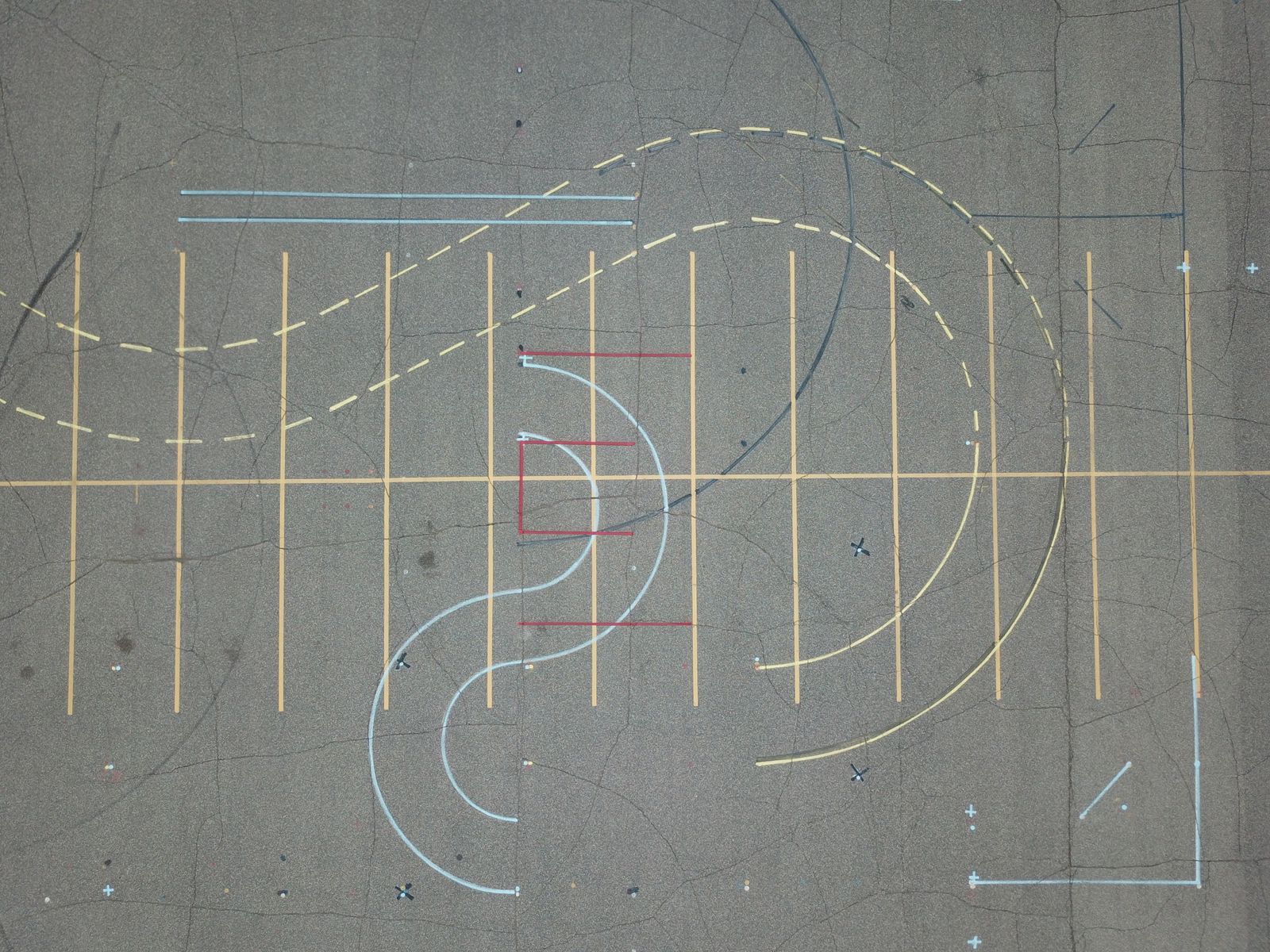
The core service. We energize and trace conductive lines with transmitter–receiver equipment, working in direct-connect, inductive clamp and passive modes depending on what's available to hook onto.
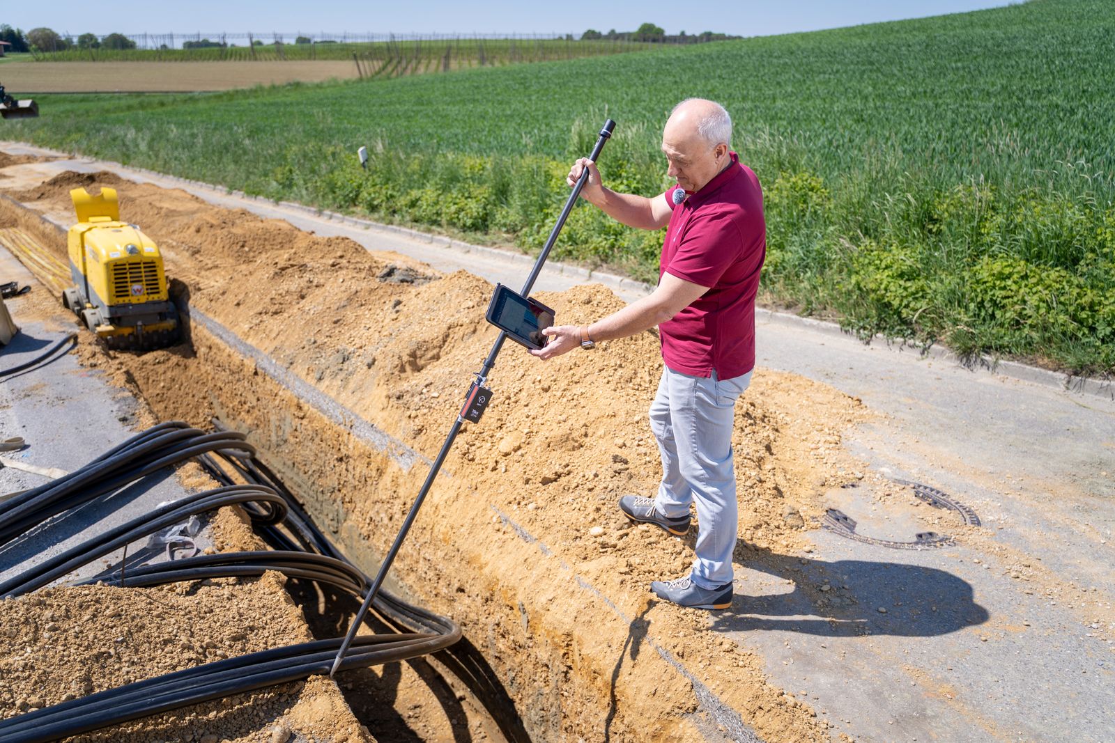
Direct connection to a valve, riser, meter or tracer wire gives the cleanest, most reliable trace. Where there's no access point, we induce a signal from the surface or sweep passively for the 60 Hz and radio-frequency energy already on the line. Every method has failure modes, and knowing which one is lying to you is the actual skill.
 02 — GPR
Electromagnetic locating needs something conductive to trace. Plenty of what's buried isn't — and that's where radar takes over.
GPR pulses radio waves into the ground and reads what bounces back off changes in material density. Plastic pipe, clay tile, concrete duct bank, tanks, vaults, voids and disturbed soil all show up as distinct signatures to a technician who knows how to read them. We run it in a tight grid pattern rather than a few passes, because a hyperbola you never drove over is a hyperbola you never found.
Honest limitation: GPR performance depends on soil. Heavily saturated clay — which Central Texas has plenty of — attenuates the signal and reduces usable depth. We'll tell you what we could and couldn't see, and note it on the deliverable.
 03 — Mapping
Marks on the ground solve today's dig. A map solves every dig for the next twenty years — and it's the deliverable that turns a locate into an asset.
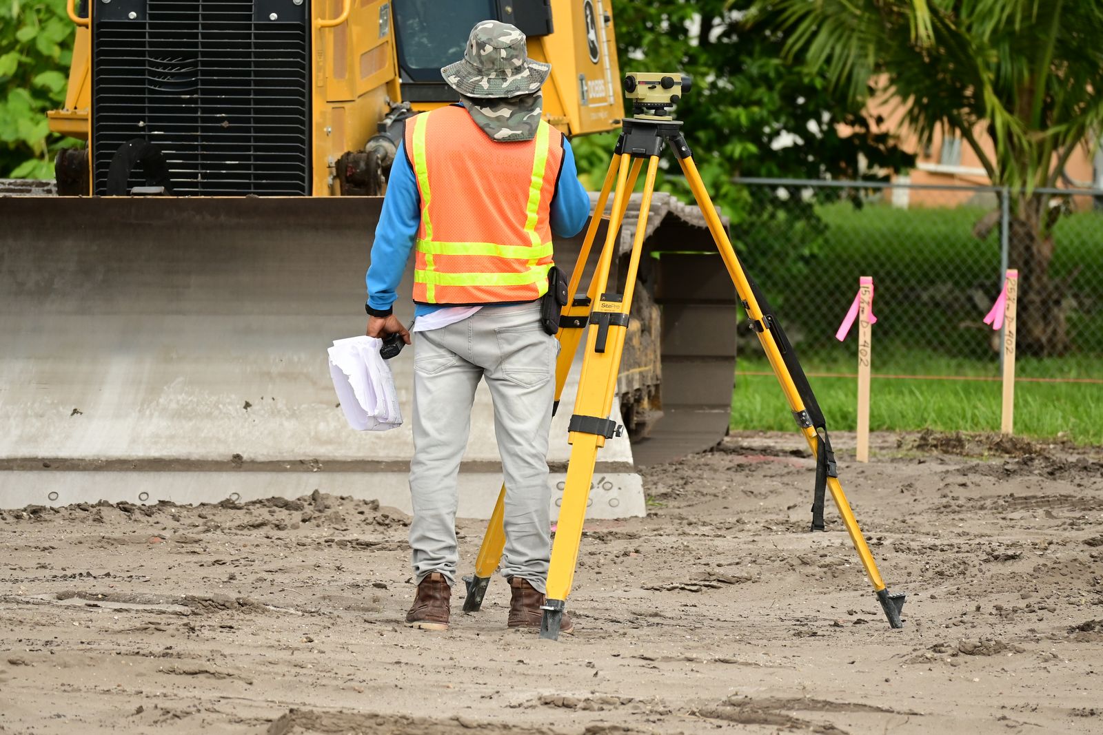
Everything we designate gets GPS-collected in the field and drafted by our mapping team into the format your project actually uses, with each utility attributed by type, size and material where determinable, detection method, approximate depth, and the ASCE 38-22 quality level behind it. That last part matters: a map that doesn't tell you how confident to be is a liability, not an asset.
PDF site plan · KMZ for Google Earth · CAD (DWG/DXF) on your coordinate system · GIS shapefile or GeoJSON · georeferenced aerial overlay
Design base files · campus and facility as-builts · pre-construction risk review · O&M records · utility conflict analysis · permit and bid support
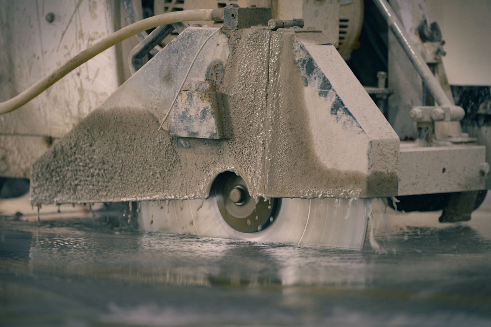 04 — Concrete Scanning
A cored post-tension cable is a structural repair, an engineer's report and a very bad phone call. A scan is an hour.
We scan slabs, decks, walls and columns with high-frequency GPR and mark our findings directly on the surface where your saw operator can see them. You get a clear go/no-go layout before the first cut, plus photos of the marked area for the file.
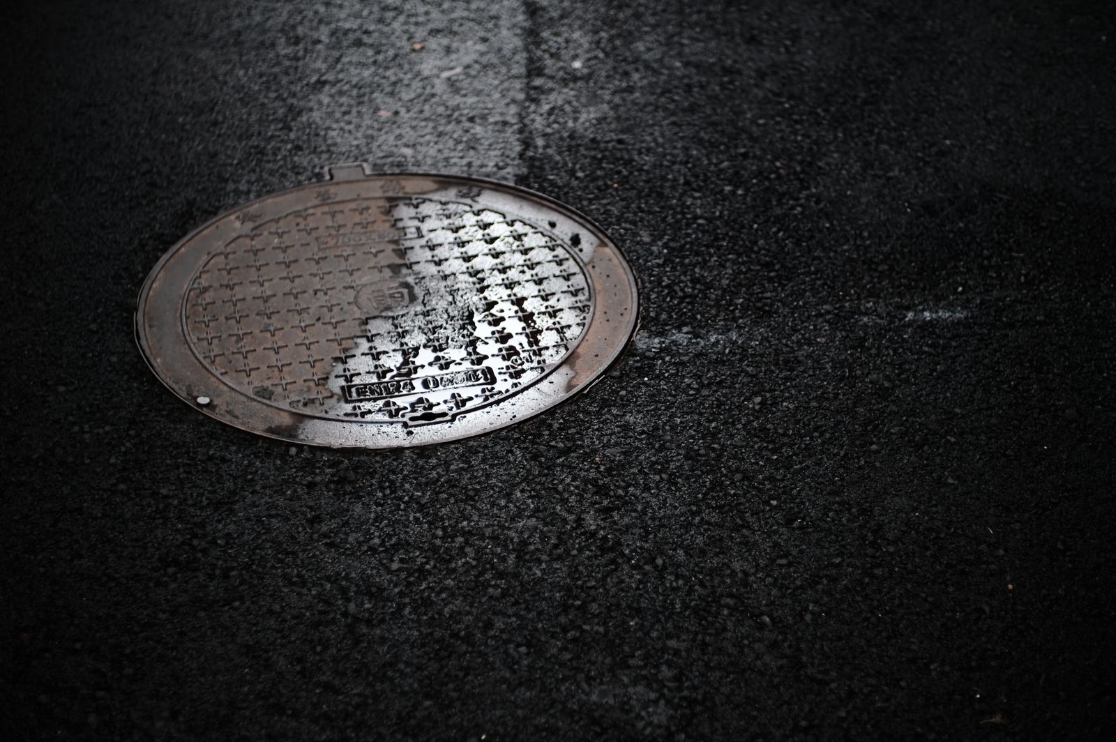 05 — Pipe Inspection
Some lines are easier to find from the inside. A camera with a sonde transmitter lets us trace the exact path and depth of a non-metallic pipe that no surface method can reliably follow.
Push camera for laterals and small-diameter lines, crawler for mainline runs. Along the way you get a condition record: root intrusion, offset joints, bellies, cracks, collapses, grease and blockages — documented on video with distance markers so you know exactly how far in the problem sits.
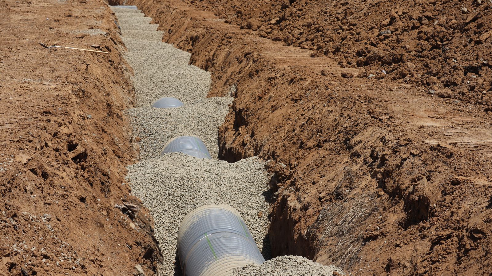 06 — QL-A Verification
When "approximately three feet down, give or take" isn't good enough, we stop estimating and go look.
Air or hydro vacuum excavation removes soil without touching the utility, exposing the line so we can record true depth to top of pipe, outside diameter, material and condition. The hole is backfilled and restored when we're done. This is ASCE 38-22 Quality Level A — the only data accurate enough to design a tight crossing against.
Pinpoint pressurized water leaks under slabs, pavement and landscape using acoustic correlation — before you excavate the wrong forty feet of driveway.
Locate underground storage tanks, septic tanks, cisterns and abandoned fuel systems for due diligence, closure and site redevelopment.
Find breaks and shorts in tracer wire, cathodic protection systems, direct-buried cable and invisible fencing without trenching the whole run.
Linear designating for fiber builds, pipeline reroutes, transmission and roadway corridors — mapped continuously against project stationing.
Multi-building programs where nobody has a reliable as-built. We map it once, deliver it in GIS, and give your facilities team a record they can maintain.
Crew standing idle, unexpected line in the trench, or a dig that has to happen today. Call — don't email — and we'll tell you straight whether we can make it.
Send the address and the scope. You'll get a firm price and a date — usually the same day you ask.
(737) 937-6199